Montes Vascos
| Highest peak | Aitxuri (1551 m a.s.l.) |
|---|---|
| Most prominent peak | Aitxuri (1551 m a.s.l., prominence 944 m) |
| Parent unit | Kantaberské pohoří |
| Main peaks | Total 12 |
| Most popular peaks | Txindoki (1342 m a.s.l.), Erlo (1028 m a.s.l.), Intzako Dorrea (1430 m a.s.l.), Larrasa (1454 m a.s.l.), Udalatx (1118 m a.s.l.) |
| Mountain range challenges | Highest Geographical Points of Europe |

| Name | Elevation | ||||
|---|---|---|---|---|---|

|
Aitxuri | 1551 m a.s.l. | Montes Vascos | 944 m | hlavní vrchol |
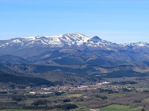
|
Gorbeia | 1482 m a.s.l. | Montes Vascos | 889 m | hlavní vrchol |
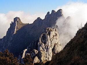
|
Larrasa | 1454 m a.s.l. | Montes Vascos | 670 m | hlavní vrchol |
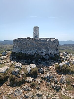
|
Intzako Dorrea | 1430 m a.s.l. | Montes Vascos | 808 m | hlavní vrchol |
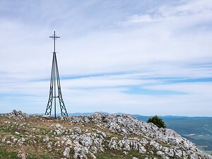
|
Yoar | 1416 m a.s.l. | Montes Vascos | 623 m | hlavní vrchol |
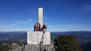
|
Cueto | 1362 m a.s.l. | Montes Vascos | 643 m | hlavní vrchol |

|
Txindoki | 1342 m a.s.l. | Montes Vascos | 163 m | hlavní vrchol |
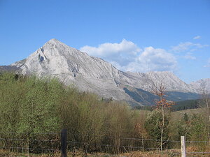
|
Amboto | 1330 m a.s.l. | Montes Vascos | 733 m | hlavní vrchol |
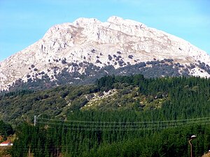
|
Udalatx | 1118 m a.s.l. | Montes Vascos | 611 m | hlavní vrchol |
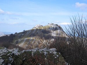
|
Hernio | 1076 m a.s.l. | Montes Vascos | 702 m | hlavní vrchol |
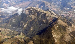
|
Erlo | 1028 m a.s.l. | Montes Vascos | 617 m | hlavní vrchol |
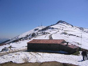
|
Oiz | 1025 m a.s.l. | Montes Vascos | 708 m | hlavní vrchol |