Trans-Mexican Volcanic Belt
| Highest peak | Pico de Orizaba (5636 m a.s.l.) |
|---|---|
| Most prominent peak | Pico de Orizaba (5636 m a.s.l., prominence 4922 m) |
| Parent unit | Kordillery |
| Main peaks | Total 12 |
| Most popular peaks | La Malinche (4461 m a.s.l.), Pico de Orizaba (5636 m a.s.l.), Iztaccihuatl (5230 m a.s.l.), Nevado de Toluca (4680 m a.s.l.), Cofre de Perote (4282 m a.s.l.) |

| Name | Elevation | ||||
|---|---|---|---|---|---|

|
Pico de Orizaba | 5636 m a.s.l. | Trans-Mexican Volcanic Belt | 4922 m | hlavní vrchol |

|
Popocatépetl | 5452 m a.s.l. | Trans-Mexican Volcanic Belt | 3020 m | hlavní vrchol |

|
Iztaccihuatl | 5230 m a.s.l. | Trans-Mexican Volcanic Belt | 1530 m | hlavní vrchol |

|
Nevado de Toluca | 4680 m a.s.l. | Trans-Mexican Volcanic Belt | 2210 m | hlavní vrchol |

|
La Malinche | 4461 m a.s.l. | Trans-Mexican Volcanic Belt | 1920 m | hlavní vrchol |

|
Cofre de Perote | 4282 m a.s.l. | Trans-Mexican Volcanic Belt | 1340 m | hlavní vrchol |
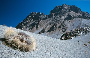
|
Nevado de Colima | 4260 m a.s.l. | Trans-Mexican Volcanic Belt | 2702 m | hlavní vrchol |

|
Ajusco | 3937 m a.s.l. | Trans-Mexican Volcanic Belt | 1217 m | hlavní vrchol |
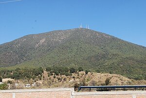
|
Jocotitlán | 3910 m a.s.l. | Trans-Mexican Volcanic Belt | 1200 m | hlavní vrchol |
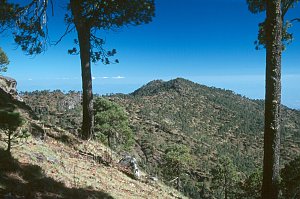
|
Pico de Tancitaro | 3840 m a.s.l. | Trans-Mexican Volcanic Belt | 1663 m | hlavní vrchol |
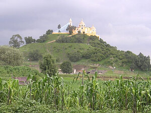
|
Tlachihualtépetl | 2215 m a.s.l. | Trans-Mexican Volcanic Belt | 67 m | hlavní vrchol |

|
Cueva de Aquila Uno | 1640 m a.s.l. | Trans-Mexican Volcanic Belt | 15 m | hlavní vrchol |