Greater Antilles
| Highest peak | Pico Duarte (3098 m a.s.l.) |
|---|---|
| Most prominent peak | Pico Duarte (3098 m a.s.l., prominence 3098 m) |
| Parent unit | Karibik |
| Sub-units |
Hispaniola Jamajka Kuba Portoriko |
| Main peaks | Total 8 |
| Most popular peaks | Pico Duarte (3098 m a.s.l.), Carretera Topes de Collante (835 m a.s.l.), Alto Bandera (2856 m a.s.l.), Pico Turquino (1974 m a.s.l.), Cerro de Punta (1338 m a.s.l.) |

| Name | Elevation | ||||
|---|---|---|---|---|---|

|
Pico Duarte | 3098 m a.s.l. | Hispaniola | 3098 m | hlavní vrchol |

|
Alto Bandera | 2856 m a.s.l. | Hispaniola | 1515 m | hlavní vrchol |

|
Pic la Selle | 2680 m a.s.l. | Hispaniola | 2644 m | hlavní vrchol |

|
Pic Macaya | 2347 m a.s.l. | Hispaniola | 2097 m | hlavní vrchol |

|
Loma Gajo en Medio | 2279 m a.s.l. | Hispaniola | 1781 m | hlavní vrchol |

|
Blue Mountain Peak | 2256 m a.s.l. | Jamajka | 2256 m | hlavní vrchol |

|
Pico Turquino | 1974 m a.s.l. | Kuba | 1974 m | hlavní vrchol |
|
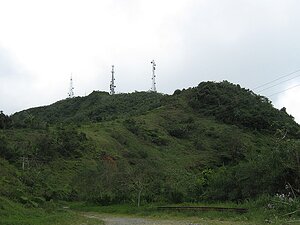
Cerro de Punta | 1338 m a.s.l. | Portoriko | 1338 m | hlavní vrchol |

|
Carretera Topes de Collante | 835 m a.s.l. | Kuba | 10 m | vedlejší vrchol |