Osthessisches Bergland
| Highest peak | Wasserkuppe (950 m a.s.l.) |
|---|---|
| Most prominent peak | Wasserkuppe (950 m a.s.l., prominence 585 m) |
| Parent unit | Středoněmecká vysočina |
| Sub-units |
Rhön Vogelsberg |
| Main peaks | Total 11 |
| Most popular peaks | Schnellerskopf (412 m a.s.l.), Rosskopf (482 m a.s.l.), Dietrichsberg (669 m a.s.l.), Monte Kali (520 m a.s.l.), Taufstein (773 m a.s.l.) |

| Name | Elevation | ||||
|---|---|---|---|---|---|

|
Wasserkuppe | 950 m a.s.l. | Rhön | 585 m | hlavní vrchol |
|
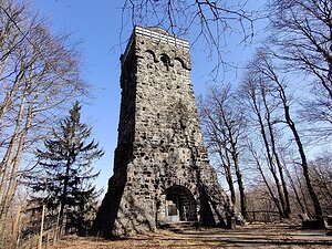
Taufstein | 773 m a.s.l. | Vogelsberg | 406 m | hlavní vrchol |
|
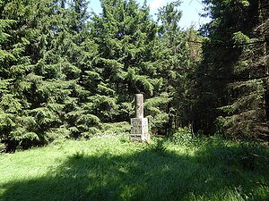
Kasseler Kuppe | 760 m a.s.l. | Osthessisches Bergland | 438 m | hlavní vrchol |

|
Engelsberg | 736 m a.s.l. | Rhön | 130 m | hlavní vrchol |

|
Sachsenburg | 722 m a.s.l. | Rhön | 110 m | hlavní vrchol |

|
Baier | 718 m a.s.l. | Rhön | 217 m | hlavní vrchol |

|
Dietrichsberg | 669 m a.s.l. | Rhön | 276 m | hlavní vrchol |

|
Öchsenberg | 627 m a.s.l. | Rhön | 150 m | hlavní vrchol |

|
Monte Kali | 520 m a.s.l. | Rhön | 132 m | hlavní vrchol |

|
Rosskopf | 482 m a.s.l. | Osthessisches Bergland | 170 m | hlavní vrchol |

|
Schnellerskopf | 412 m a.s.l. | Osthessisches Bergland | 62 m | hlavní vrchol |