Micronesia
| Highest peak | Agrigan (965 m a.s.l.) |
|---|---|
| Most prominent peak | Agrigan (965 m a.s.l., prominence 965 m) |
| Parent unit | Oceánie |
| Main peaks | Total 7 |
| Most popular peaks | Cheleos (120 m a.s.l.), Ngkesiu (203 m a.s.l.), Mount Ngerchelchuus (242 m a.s.l.), Tochobei (84 m a.s.l.), Mount Lamlam (406 m a.s.l.) |

| Name | Elevation | ||||
|---|---|---|---|---|---|

|
Agrigan | 965 m a.s.l. | Micronesia | 965 m | hlavní vrchol |
|
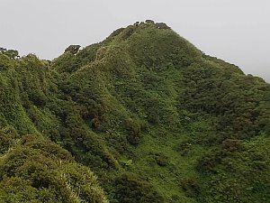
Mount Agrihan | 965 m a.s.l. | Micronesia | 965 m | hlavní vrchol |

|
Mount Lamlam | 406 m a.s.l. | Micronesia | 406 m | hlavní vrchol |
|
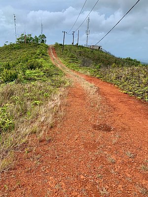
Mount Ngerchelchuus | 242 m a.s.l. | Micronesia | 242 m | hlavní vrchol |
|
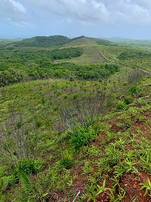
Ngkesiu | 203 m a.s.l. | Micronesia | 30 m | hlavní vrchol |
|
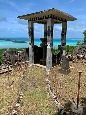
Cheleos | 120 m a.s.l. | Micronesia | 109 m | hlavní vrchol |
|
Tochobei | 84 m a.s.l. | Micronesia | 50 m | hlavní vrchol |