Armorický masiv
Armorický masiv (French: Massif armoricain) is a vast massif in the northwest of France, part of the Hercynian system. It occupies the Brittany Peninsula and the surrounding area, including the British Channel Islands. It has a hilly relief and consists of undulating plateaus with river valleys. The highest peak is Mont des Avaloirs (416 m).
| Highest peak | Mont des Avaloirs (416 m a.s.l.) |
|---|---|
| Most prominent peak | Roc'h Ruz (385 m a.s.l., prominence 313 m) |
| Parent unit | Hercynian Mountains |
| Sub-units | Norman Islands |
| Main peaks | Total 7 |
| Most popular peaks | Saint-Michel (92 m a.s.l.), Le Moulin (114 m a.s.l.), Les Platons (143 m a.s.l.), Mont Dol (62 m a.s.l.), Mont des Avaloirs (416 m a.s.l.) |
| Mountain range challenges | Highest Geographical Points of Europe |

| Name | Elevation | ||||
|---|---|---|---|---|---|

|
Mont des Avaloirs | 416 m a.s.l. | Armorický masiv | 293 m | hlavní vrchol |
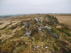
|
Roc'h Ruz | 385 m a.s.l. | Armorický masiv | 313 m | hlavní vrchol |

|
Les Platons | 143 m a.s.l. | Norman Islands | 143 m | hlavní vrchol |

|
Le Moulin | 114 m a.s.l. | Norman Islands | 114 m | hlavní vrchol |
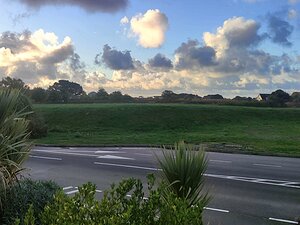
|
Hautnez | 110 m a.s.l. | Norman Islands | 110 m | hlavní vrchol |

|
Saint-Michel | 92 m a.s.l. | Armorický masiv | 92 m | hlavní vrchol |

|
Mont Dol | 62 m a.s.l. | Armorický masiv | 58 m | hlavní vrchol |