Brazilská vysočina
| Highest peak | Pico da Bandeira (2897 m a.s.l.) |
|---|---|
| Most prominent peak | Pico da Bandeira (2897 m a.s.l., prominence 2645 m) |
| Parent unit | Amerika |
| Sub-units |
Serra do Mar Serra da Mantiqueira Serra do Caparaó |
| Main peaks | Total 7 |
| Most popular peaks | Pedra da Gávea (844 m a.s.l.), Morro do Corcovado (710 m a.s.l.), Morro do Pontal de Sernambetiba (120 m a.s.l.), Pico Maior de Friburgo (2366 m a.s.l.), Pedra da Mina (2798 m a.s.l.) |

| Name | Elevation | ||||
|---|---|---|---|---|---|

|
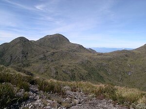
Pico da Bandeira | 2897 m a.s.l. | Serra do Caparaó | 2645 m | hlavní vrchol |
|
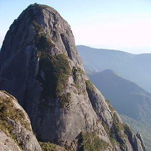
Pedra da Mina | 2798 m a.s.l. | Serra da Mantiqueira | 2068 m | hlavní vrchol |
|
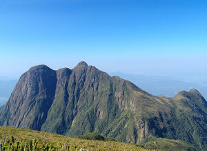
Pico Maior de Friburgo | 2366 m a.s.l. | Serra do Mar | 1953 m | hlavní vrchol |
|
Pico Paraná | 1877 m a.s.l. | Serra do Mar | 1124 m | hlavní vrchol |

|
Pedra da Gávea | 844 m a.s.l. | Serra do Mar | 410 m | hlavní vrchol |

|
Morro do Corcovado | 710 m a.s.l. | Serra do Mar | 165 m | hlavní vrchol |

|
Morro do Pontal de Sernambetiba | 120 m a.s.l. | Serra do Mar | 119 m | hlavní vrchol |