Habichtswald
| Highest peak | Hohes Gras (614 m a.s.l.) |
|---|---|
| Most prominent peak | Hohes Gras (614 m a.s.l., prominence 469 m) |
| Parent unit | Středoněmecká vysočina |
| Main peaks | Total 8 |
| Most popular peaks | Weinberg (194 m a.s.l.), Hoher Dörnberg (578 m a.s.l.), Burghausunger Berg (480 m a.s.l.), Helfensteine (509 m a.s.l.), Hohes Gras (614 m a.s.l.) |

| Name | Elevation | ||||
|---|---|---|---|---|---|

|
Hohes Gras | 614 m a.s.l. | Habichtswald | 469 m | hlavní vrchol |

|
Uhlenstein | 607 m a.s.l. | Habichtswald | 7 m | vedlejší vrchol |

|
Großer Bärenberg | 601 m a.s.l. | Habichtswald | 268 m | hlavní vrchol |

|
Hoher Dörnberg | 578 m a.s.l. | Habichtswald | 240 m | hlavní vrchol |
|
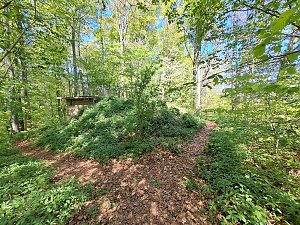
Hüttenberg | 555 m a.s.l. | Habichtswald | 25 m | hlavní vrchol |

|
Kleiner Gudenberg | 532 m a.s.l. | Habichtswald | 23 m | hlavní vrchol |

|
Helfensteine | 509 m a.s.l. | Habichtswald | 38 m | hlavní vrchol |

|
Burghausunger Berg | 480 m a.s.l. | Habichtswald | 95 m | hlavní vrchol |
|
|
Gr. Schreckenberg | 455 m a.s.l. | Habichtswald | 15 m | hlavní vrchol |
|
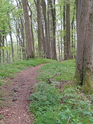
Hunrodsberg | 436 m a.s.l. | Habichtswald | 6 m | vedlejší vrchol |

|
Rammelsberg | 235 m a.s.l. | Habichtswald | 2 m | spočinek/ostatní |
|
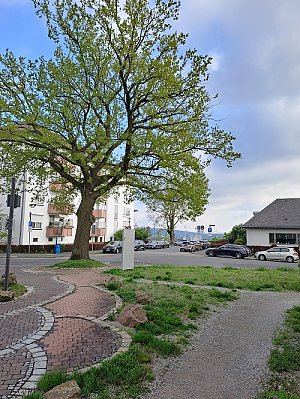
Weinberg | 194 m a.s.l. | Habichtswald | 4 m | spočinek/ostatní |