North Sea Basin
| Highest peak | Sugarloaf Hill (369 m a.s.l.) |
|---|---|
| Most prominent peak | Cleeve Hill (330 m a.s.l., prominence 242 m) |
| Parent unit | Epihercynské nížiny |
| Sub-units |
Cotswolds Malvern Hills |
| Main peaks | Total 4 |
| Most popular peaks | Greenwich hill (50 m a.s.l.), High Holborn (22 m a.s.l.), Primerose Hill (64 m a.s.l.), Windsor Castle Hill (53 m a.s.l.), Cliff End (97 m a.s.l.) |

| Name | Elevation | ||||
|---|---|---|---|---|---|

|
Sugarloaf Hill | 369 m a.s.l. | Malvern Hills | 26 m | hlavní vrchol |
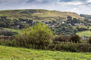
|
Cleeve Hill | 330 m a.s.l. | Cotswolds | 242 m | hlavní vrchol |
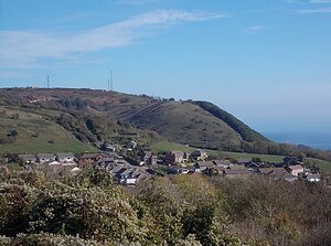
|
St Boniface Down | 241 m a.s.l. | North Sea Basin | 241 m | hlavní vrchol |

|
Cliff End | 97 m a.s.l. | North Sea Basin | 4 m | spočinek/ostatní |
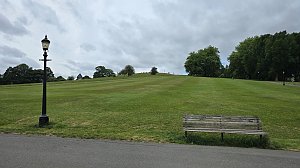
|
Primerose Hill | 64 m a.s.l. | North Sea Basin | 11 m | vedlejší vrchol |
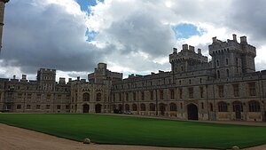
|
Windsor Castle Hill | 53 m a.s.l. | North Sea Basin | 30 m | hlavní vrchol |
|
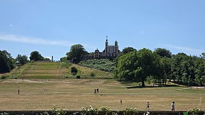
Greenwich hill | 50 m a.s.l. | North Sea Basin | 10 m | vedlejší vrchol |

|
The Cross | 29 m a.s.l. | Cotswolds | 8 m | vedlejší vrchol |

|
High Holborn | 22 m a.s.l. | North Sea Basin | 5 m | vedlejší vrchol |