Schwarzwald
| Highest peak | Feldberg (1493 m a.s.l.) |
|---|---|
| Most prominent peak | Feldberg (1493 m a.s.l., prominence 930 m) |
| Parent unit | Středoněmecká vysočina |
| Main peaks | Total 11 |
| Most popular peaks | Schutterlinderberg (297 m a.s.l.), Battert (569 m a.s.l.), Seebuck (1449 m a.s.l.), Feldberg (1493 m a.s.l.), Obereck (1188 m a.s.l.) |

| Name | Elevation | ||||
|---|---|---|---|---|---|

|
Feldberg | 1493 m a.s.l. | Schwarzwald | 930 m | hlavní vrchol |

|
Seebuck | 1449 m a.s.l. | Schwarzwald | 35 m | hlavní vrchol |

|
Belchen | 1414 m a.s.l. | Schwarzwald | 381 m | hlavní vrchol |

|
Blößling | 1310 m a.s.l. | Schwarzwald | 331 m | hlavní vrchol |

|
Kandel | 1242 m a.s.l. | Schwarzwald | 354 m | hlavní vrchol |

|
Obereck | 1188 m a.s.l. | Schwarzwald | 274 m | hlavní vrchol |
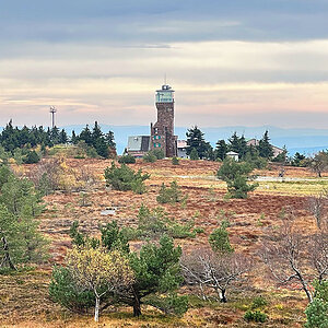
|
Hornisgrinde | 1164 m a.s.l. | Schwarzwald | 511 m | hlavní vrchol |

|
Hoher Ochsenkopf | 1059 m a.s.l. | Schwarzwald | 172 m | hlavní vrchol |

|
Gschasikopf | 1052 m a.s.l. | Schwarzwald | 94 m | hlavní vrchol |
|
|
Battert | 569 m a.s.l. | Schwarzwald | 196 m | hlavní vrchol |
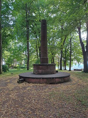
|
Schutterlinderberg | 297 m a.s.l. | Schwarzwald | 69 m | hlavní vrchol |