Franská Alba
| Highest peak | Hesselberg (689 m a.s.l.) |
|---|---|
| Most prominent peak | Rotbühl (673 m a.s.l., prominence 239 m) |
| Parent unit | Středoněmecká vysočina |
| Main peaks | Total 11 |
| Most popular peaks | Staffelberg (539 m a.s.l.), Poppberg (653 m a.s.l.), Hesselberg (689 m a.s.l.), Stockenberg (563 m a.s.l.), Kühbuckel (446 m a.s.l.) |

| Name | Elevation | ||||
|---|---|---|---|---|---|

|
Hesselberg | 689 m a.s.l. | Franská Alba | 211 m | hlavní vrchol |

|
Rotbühl | 673 m a.s.l. | Franská Alba | 239 m | hlavní vrchol |

|
Poppberg | 653 m a.s.l. | Franská Alba | 81 m | hlavní vrchol |

|
Arzberg | 612 m a.s.l. | Franská Alba | 61 m | hlavní vrchol |

|
Berghöhe Brandholz | 596 m a.s.l. | Franská Alba | 156 m | hlavní vrchol |

|
Geisberg | 585 m a.s.l. | Franská Alba | 30 m | hlavní vrchol |

|
Luginsland | 572 m a.s.l. | Franská Alba | 12 m | vedlejší vrchol |

|
Stockenberg | 563 m a.s.l. | Franská Alba | 13 m | vedlejší vrchol |

|
Hirtenberg | 562 m a.s.l. | Franská Alba | 48 m | hlavní vrchol |

|
Heilingberg | 560 m a.s.l. | Franská Alba | 14 m | vedlejší vrchol |

|
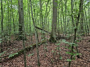
Staffelberg | 539 m a.s.l. | Franská Alba | 102 m | hlavní vrchol |
|
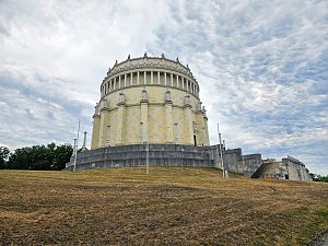
Hirschberg | 477 m a.s.l. | Franská Alba | 34 m | hlavní vrchol |
|
Michelsberg | 448 m a.s.l. | Franská Alba | významný bod | |

|
Kühbuckel | 446 m a.s.l. | Franská Alba | 3 m | spočinek/ostatní |

|
Herberg | 398 m a.s.l. | Franská Alba | 60 m | hlavní vrchol |

|
Himmelsacker | 386 m a.s.l. | Franská Alba | 20 m | hlavní vrchol |