Rodrigues
| Highest peak | Mont Limon (389 m a.s.l.) |
|---|---|
| Most prominent peak | Mont Limon (389 m a.s.l., prominence 389 m) |
| Parent unit | Maskarény |
| Main peaks | Total 4 |
| Most popular peaks | Easternmost Point of Africa (1 m a.s.l.), Mont Limon (389 m a.s.l.), Mont Lubin (370 m a.s.l.), Mont Malartic (382 m a.s.l.), Pointe Coton (18 m a.s.l.) |

| Name | Elevation | ||||
|---|---|---|---|---|---|
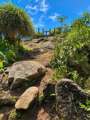
|
Mont Limon | 389 m a.s.l. | Rodrigues | 389 m | hlavní vrchol |
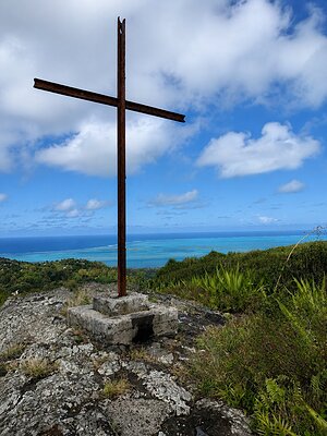
|
Mont Malartic | 382 m a.s.l. | Rodrigues | 54 m | hlavní vrchol |
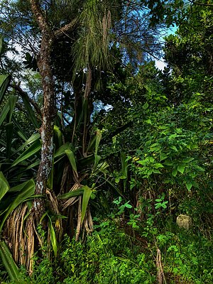
|
Mont Lubin | 370 m a.s.l. | Rodrigues | 26 m | hlavní vrchol |
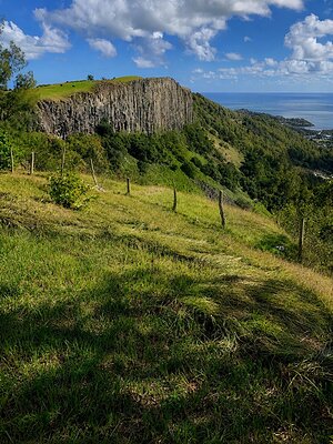
|
Montagne Tonnerre | 208 m a.s.l. | Rodrigues | 5 m | vedlejší vrchol |
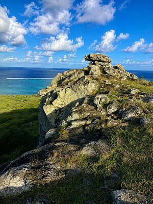
|
Mont Chéri | 162 m a.s.l. | Rodrigues | 25 m | hlavní vrchol |
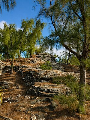
|
Pointe Coton | 18 m a.s.l. | Rodrigues | 12 m | vedlejší vrchol |
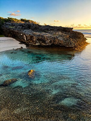
|
Easternmost Point of Africa | 1 m a.s.l. | Rodrigues | významný bod |