Central Cordillera (Bolivia)
| Highest peak | Uturuncu (6008 m a.s.l.) |
|---|---|
| Most prominent peak | Chorolque (5552 m a.s.l., prominence 1573 m) |
| Parent unit | Střední Andy |
| Main peaks | Total 7 |
| Most popular peaks | Atocha SZ (3979 m a.s.l.), Atocha (3982 m a.s.l.), Uyuni (4022 m a.s.l.), Cerro Rico (4782 m a.s.l.), Cerro Tinte (5844 m a.s.l.) |

| Name | Elevation | ||||
|---|---|---|---|---|---|
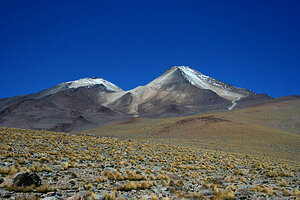
|
Uturuncu | 6008 m a.s.l. | Central Cordillera (Bolivia) | 1386 m | hlavní vrchol |
|
Cerro Tinte | 5844 m a.s.l. | Central Cordillera (Bolivia) | 828 m | hlavní vrchol |
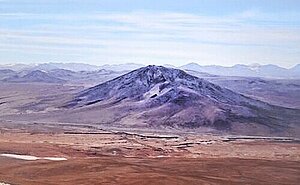
|
Quetena | 5730 m a.s.l. | Central Cordillera (Bolivia) | 998 m | hlavní vrchol |

|
Cerro Vilama | 5678 m a.s.l. | Central Cordillera (Bolivia) | 632 m | hlavní vrchol |
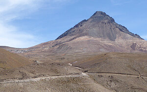
|
Chorolque | 5552 m a.s.l. | Central Cordillera (Bolivia) | 1573 m | hlavní vrchol |
|
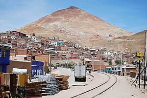
Cerro Rico | 4782 m a.s.l. | Central Cordillera (Bolivia) | 429 m | hlavní vrchol |
|
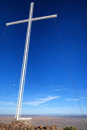
Uyuni | 4022 m a.s.l. | Central Cordillera (Bolivia) | 211 m | hlavní vrchol |
|
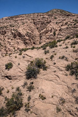
Atocha | 3982 m a.s.l. | Central Cordillera (Bolivia) | 12 m | vedlejší vrchol |
|
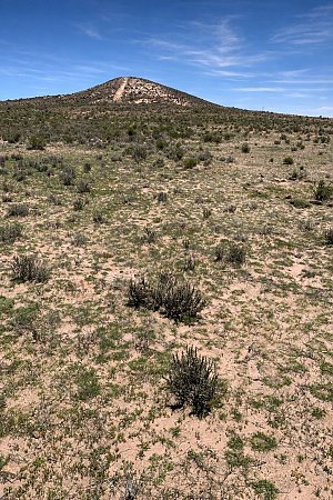
Atocha SZ | 3979 m a.s.l. | Central Cordillera (Bolivia) | 5 m | vedlejší vrchol |