Cordillera Oriental (Peru)
| Highest peak | Ausangate (6384 m a.s.l.) |
|---|---|
| Most prominent peak | Salcantay (6271 m a.s.l., prominence 2540 m) |
| Parent unit | Střední Andy |
| Main peaks | Total 8 |
| Most popular peaks | Montaña Machu Picchu (3061 m a.s.l.), Vinicunca (5036 m a.s.l.), Pukamuqu (3560 m a.s.l.), Choquequirao (3060 m a.s.l.), Huyana Picchu (2701 m a.s.l.) |

| Name | Elevation | ||||
|---|---|---|---|---|---|
|
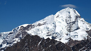
Ausangate | 6384 m a.s.l. | Cordillera Oriental (Peru) | 2085 m | hlavní vrchol |
|
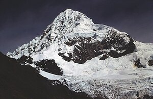
Salcantay | 6271 m a.s.l. | Cordillera Oriental (Peru) | 2540 m | hlavní vrchol |

|
Quyllur Puñuna | 5743 m a.s.l. | Cordillera Oriental (Peru) | 645 m | hlavní vrchol |
|
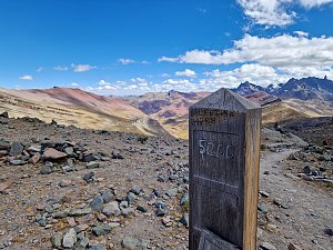
Abra Palomani | 5200 m a.s.l. | Cordillera Oriental (Peru) | významný bod | |

|
Vinicunca | 5036 m a.s.l. | Cordillera Oriental (Peru) | 37 m | hlavní vrchol |
|
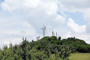
Pukamuqu | 3560 m a.s.l. | Cordillera Oriental (Peru) | 5 m | vedlejší vrchol |
|
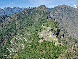
Montaña Machu Picchu | 3061 m a.s.l. | Cordillera Oriental (Peru) | 273 m | hlavní vrchol |

|
Choquequirao | 3060 m a.s.l. | Cordillera Oriental (Peru) | 25 m | hlavní vrchol |

|
Huyana Picchu | 2701 m a.s.l. | Cordillera Oriental (Peru) | 360 m | hlavní vrchol |

|
Huchuy Picchu | 2497 m a.s.l. | Cordillera Oriental (Peru) | 50 m | hlavní vrchol |