Central Cordillera (Colombia)
| Highest peak | Nevado del Huila (5364 m a.s.l.) |
|---|---|
| Most prominent peak | Nevado del Huila (5364 m a.s.l., prominence 2650 m) |
| Parent unit | Northern Andes |
| Main peaks | Total 4 |
| Most popular peaks | Peňol de Guatape (2135 m a.s.l.), Nevado del Tolima (5215 m a.s.l.), Cerro Bravo (3963 m a.s.l.), Nevado del Huila (5364 m a.s.l.) |

| Name | Elevation | ||||
|---|---|---|---|---|---|
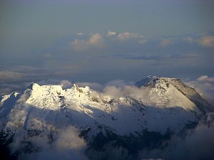
|
Nevado del Huila | 5364 m a.s.l. | Central Cordillera (Colombia) | 2650 m | hlavní vrchol |
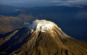
|
Nevado del Tolima | 5215 m a.s.l. | Central Cordillera (Colombia) | 1233 m | hlavní vrchol |
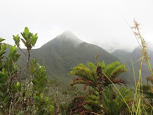
|
Cerro Bravo | 3963 m a.s.l. | Central Cordillera (Colombia) | 531 m | hlavní vrchol |

|
Peňol de Guatape | 2135 m a.s.l. | Central Cordillera (Colombia) | 218 m | hlavní vrchol |