Fiordland
| Highest peak | Mount Tūtoko (2723 m a.s.l.) |
|---|---|
| Most prominent peak | Mount Tūtoko (2723 m a.s.l., prominence 2191 m) |
| Parent unit | South Island |
| Main peaks | Total 10 |
| Most popular peaks | Mount Luxmore (1472 m a.s.l.), Mount Tūtoko (2723 m a.s.l.), Mitre Peak (1683 m a.s.l.), Mount Crosscut (2263 m a.s.l.), Pyramid Peak (2295 m a.s.l.) |

| Name | Elevation | ||||
|---|---|---|---|---|---|
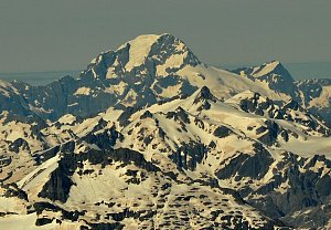
|
Mount Tūtoko | 2723 m a.s.l. | Fiordland | 2191 m | hlavní vrchol |
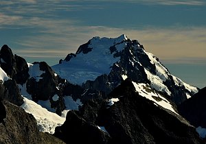
|
Mount Madeline | 2536 m a.s.l. | Fiordland | 543 m | hlavní vrchol |
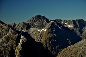
|
Pyramid Peak | 2295 m a.s.l. | Fiordland | 920 m | hlavní vrchol |
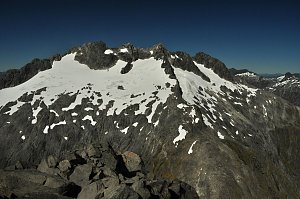
|
Mount Crosscut | 2263 m a.s.l. | Fiordland | 363 m | hlavní vrchol |
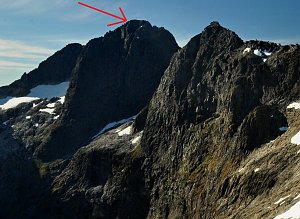
|
Sabre Peak | 2162 m a.s.l. | Fiordland | 426 m | hlavní vrchol |
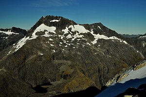
|
Mount Talbot | 2105 m a.s.l. | Fiordland | 695 m | hlavní vrchol |
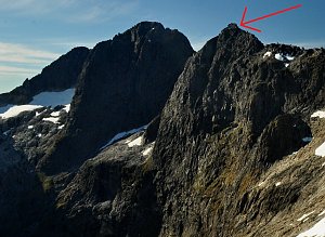
|
Marian Peak | 2102 m a.s.l. | Fiordland | 220 m | hlavní vrchol |
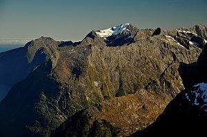
|
Mount Pembroke | 2015 m a.s.l. | Fiordland | 786 m | hlavní vrchol |
|
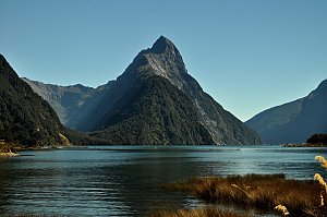
Mitre Peak | 1683 m a.s.l. | Fiordland | 95 m | hlavní vrchol |

|
Mount Luxmore | 1472 m a.s.l. | Fiordland | 278 m | hlavní vrchol |