Thuringian Forest
| Highest peak | Großer Beerberg (983 m a.s.l.) |
|---|---|
| Most prominent peak | Großer Beerberg (983 m a.s.l., prominence 398 m) |
| Parent unit | Středoněmecká vysočina |
| Main peaks | Total 6 |
| Most popular peaks | Wartburg (408 m a.s.l.), Metilstein (389 m a.s.l.), Leimenberg (315 m a.s.l.), Göpelskuppe (351 m a.s.l.), Großer Beerberg (983 m a.s.l.) |

| Name | Elevation | ||||
|---|---|---|---|---|---|
|
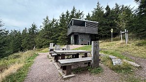
Großer Beerberg | 983 m a.s.l. | Thuringian Forest | 398 m | hlavní vrchol |

|
Großer Inselsberg | 917 m a.s.l. | Thuringian Forest | 227 m | hlavní vrchol |
|
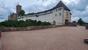
Wartburg | 408 m a.s.l. | Thuringian Forest | 190 m | hlavní vrchol |
|
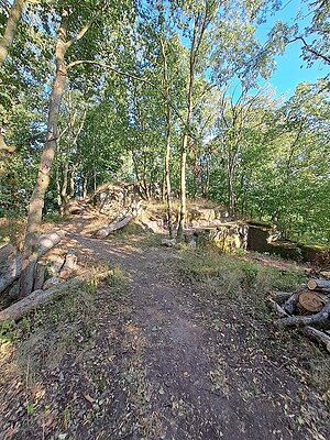
Metilstein | 389 m a.s.l. | Thuringian Forest | 61 m | hlavní vrchol |
|
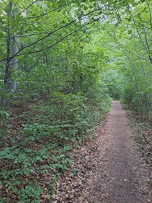
Göpelskuppe | 351 m a.s.l. | Thuringian Forest | 28 m | hlavní vrchol |
|
Leimenberg | 315 m a.s.l. | Thuringian Forest | 20 m | hlavní vrchol |