Grampians
| Highest peak | Mount William (1170 m a.s.l.) |
|---|---|
| Most prominent peak | Mount William (1170 m a.s.l., prominence 897 m) |
| Parent unit | Great Dividing Range |
| Main peaks | Total 8 |
| Most popular peaks | The Pinnacle (718 m a.s.l.), The Piccaninny (448 m a.s.l.), Banksia Hill (1103 m a.s.l.), Mount Sturgeon (588 m a.s.l.), Signal Peak (780 m a.s.l.) |

| Name | Elevation | ||||
|---|---|---|---|---|---|
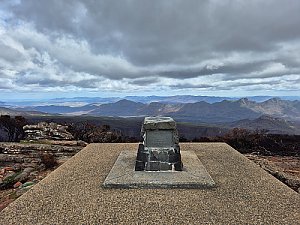
|
Mount William | 1170 m a.s.l. | Grampians | 897 m | hlavní vrchol |
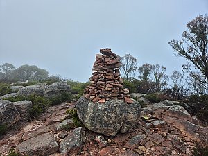
|
Durd Durd | 1167 m a.s.l. | Grampians | 272 m | hlavní vrchol |
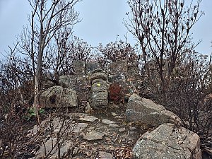
|
Banksia Hill | 1103 m a.s.l. | Grampians | 46 m | hlavní vrchol |
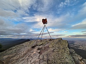
|
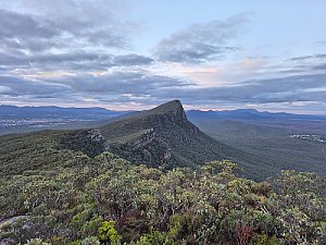
Mount Abrupt | 827 m a.s.l. | Grampians | 446 m | hlavní vrchol |
|
Signal Peak | 780 m a.s.l. | Grampians | 198 m | hlavní vrchol |
|
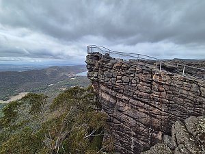
The Pinnacle | 718 m a.s.l. | Grampians | 44 m | hlavní vrchol |
|
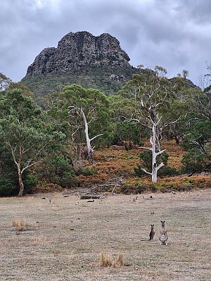
Mount Sturgeon | 588 m a.s.l. | Grampians | 301 m | hlavní vrchol |
|
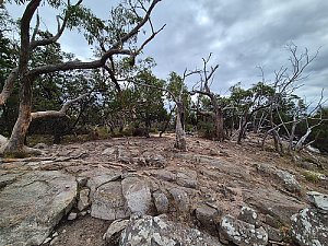
The Piccaninny | 448 m a.s.l. | Grampians | 158 m | hlavní vrchol |