Mauricius
| Highest peak | Piton de la Petite Rivière Noire (828 m a.s.l.) |
|---|---|
| Most prominent peak | Piton de la Petite Rivière Noire (828 m a.s.l., prominence 828 m) |
| Parent unit | Maskarény |
| Main peaks | Total 8 |
| Most popular peaks | Piton de la Petite Rivière Noire (828 m a.s.l.), Le Morne Brabant (556 m a.s.l.), Fort Adelaide (80 m a.s.l.), Le Gris Gris (1 m a.s.l.), Trou aux Cerfs (614 m a.s.l.) |

| Name | Elevation | ||||
|---|---|---|---|---|---|

|
Piton de la Petite Rivière Noire | 828 m a.s.l. | Mauricius | 828 m | hlavní vrchol |

|
Le Pouce | 820 m a.s.l. | Mauricius | 232 m | hlavní vrchol |
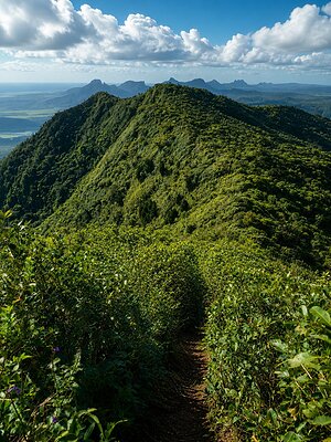
|
Piton Saint Denis SV | 810 m a.s.l. | Mauricius | 45 m | hlavní vrchol |
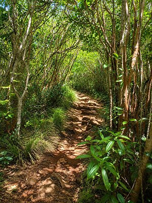
|
Piton Saint Denis | 620 m a.s.l. | Mauricius | 12 m | vedlejší vrchol |
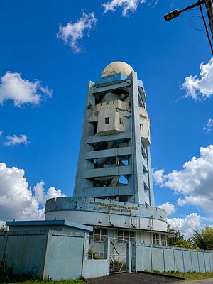
|
Trou aux Cerfs | 614 m a.s.l. | Mauricius | 49 m | hlavní vrchol |

|
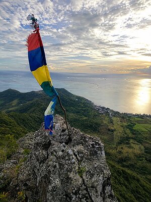
Le Morne Brabant | 556 m a.s.l. | Mauricius | 510 m | hlavní vrchol |
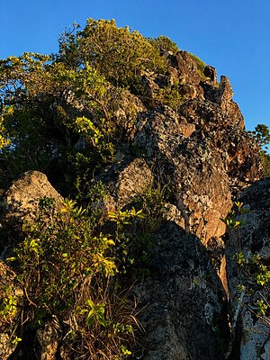
|
Lion Mountain | 490 m a.s.l. | Mauricius | 270 m | hlavní vrchol |
|
Le Chat et La Souris | 483 m a.s.l. | Mauricius | 70 m | hlavní vrchol |
|
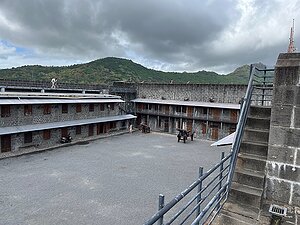
Fort Adelaide | 80 m a.s.l. | Mauricius | 26 m | hlavní vrchol |
|
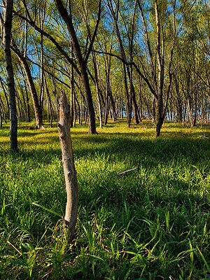
Ile des Deux Cocos | 2 m a.s.l. | Mauricius | 2 m | spočinek/ostatní |
|
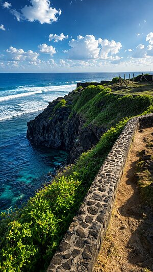
Le Gris Gris | 1 m a.s.l. | Mauricius | významný bod |