Timor
| Highest peak | Tatamailau (2963 m a.s.l.) |
|---|---|
| Most prominent peak | Tatamailau (2963 m a.s.l., prominence 2963 m) |
| Parent unit | Indonesia |
| Main peaks | Total 15 |
| Most popular peaks | Foho Fatocama (93 m a.s.l.), Foho Maulabe (2271 m a.s.l.), Letek Lelendang (47 m a.s.l.), Nuaf Tamkesi (845 m a.s.l.), Letek Kulus (347 m a.s.l.) |

| Name | Elevation | ||||
|---|---|---|---|---|---|

|
Tatamailau | 2963 m a.s.l. | Timor | 2963 m | hlavní vrchol |
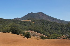
|
Mutis | 2417 m a.s.l. | Timor | 2025 m | hlavní vrchol |

|
Foho Maulabe | 2271 m a.s.l. | Timor | 126 m | hlavní vrchol |

|
Foho Curaco | 2183 m a.s.l. | Timor | 36 m | hlavní vrchol |

|
Foho Russulau | 2030 m a.s.l. | Timor | 158 m | hlavní vrchol |

|
Foho Sissdio | 1961 m a.s.l. | Timor | 27 m | hlavní vrchol |

|
Foho Nonomogue | 1169 m a.s.l. | Timor | 42 m | hlavní vrchol |

|
Gunung Naunili | 878 m a.s.l. | Timor | 531 m | hlavní vrchol |
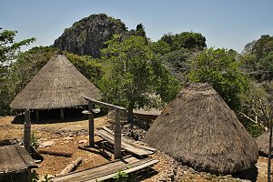
|
Nuaf Tamkesi | 845 m a.s.l. | Timor | 125 m | hlavní vrchol |

|
Gunung Letemanupere | 589 m a.s.l. | Timor | 182 m | hlavní vrchol |

|
Letek Kulus | 347 m a.s.l. | Timor | 347 m | hlavní vrchol |
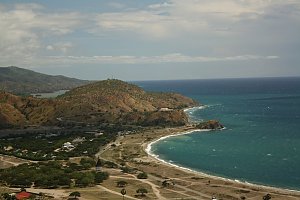
|
Mount Bolalau | 158 m a.s.l. | Timor | 33 m | hlavní vrchol |
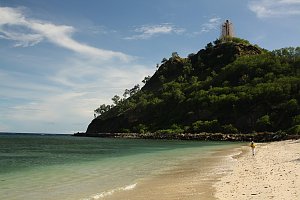
|
Foho Fatocama | 93 m a.s.l. | Timor | 45 m | hlavní vrchol |

|
Helehanak | 69 m a.s.l. | Timor | 69 m | hlavní vrchol |

|
Letek Lelendang | 47 m a.s.l. | Timor | 29 m | hlavní vrchol |