

Hiking, 17 km
17.10.2026
 Slovensko
Žilinský kraj
Logged on Vrcholovka 379x in total. Vrchol Veľký Kriváň was added here by Pája and info was completed by Pája, Fíkus, Milan "Hojší" Průžek, Martin Matějka a Jiří Králík.
Veľký Kriváň is part of challenges: Highest Points of Geomorphological Units of Slovakia, Highest SK, Nejhory Malé Fatry, Slovensko 200+, The Highest Peaks of Visegrád
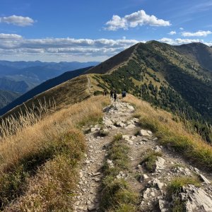
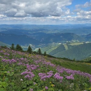
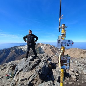
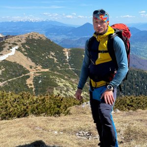
A beautiful landscape, it must be seen with your own eyes. I recommend not using the cable car but climbing on foot if possible. The ascent is challenging, but only then can one truly experience and absorb the beauty of the surrounding landscape.
Video of the ascent here: https://youtu.be/PBjbYQdVO-c
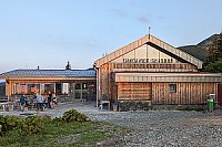
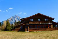
Refreshments at Snilovské sedlo, or nearby Chata pod Chlebom
Peak is not stroller accessible.
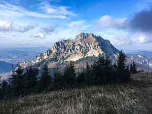
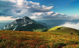
There are views from the peak.
A cable car to Snilovské sedlo operates near the summit.
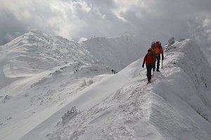
In winter, crampons or spikes are recommended, as well as snowshoes/skis.
Peak is freely accessible.
Nearest peaks: Pekelník (1609 m, 1 km) Chleb (1645 m, 1.5 km) Koniarky V (1527 m, 1.5 km) Koniarky (1535 m, 1.7 km) Hromové (1636 m, 1.8 km) Spodná veža Malého Kriváňa (1568 m, 2.1 km) Hole (1466 m, 2.2 km) Steny J (1625 m, 2.2 km) Kraviarske (1361 m, 2.7 km) Žitné (1264 m, 3.5 km)
 Na Velký Rozsutec skrz Jánošíkove diery
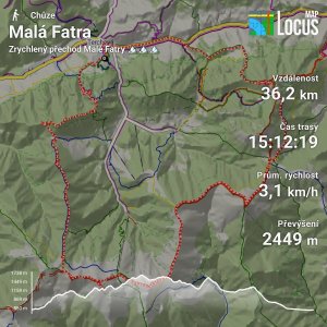
 Přechod Malé Fatry
 Chleb: Vratna
 District of Žilina: Rosina: Terchová, Vrátna Malá Fatra - Vrátna - Chleb
 Terchova: Chata na Grúni - Poludňový grúň
 Chata na Grúni
 District of Žilina
 District of Žilina: Terchova: Terchová, Vrátna Malá Fatra - Vrátna
 Starý Dvor: Vratna − Paseky

| today | tomorrow | day after tomorrow | |
|---|---|---|---|
| Dawn: | 5:50 | 5:52 | 5:53 |
| Sunrise: | 6:23 | 6:25 | 6:26 |
| Sunset: | 16:31 | 16:30 | 16:28 |
| Dusk: | 17:04 | 17:03 | 17:01 |