Havran (2152 m a.s.l., Belianské Tatry)
Register and log summit
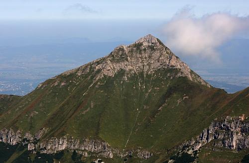

About peak Havran
 Slovensko
Prešovský kraj
Logged on Vrcholovka 11x in total. Peak information here was completed by Bouřka a PA!WELL.
Havran is part of challenges: Crown of the Tatras, Dunajec Basin, Highest SK, Poprad Basin, Slovensko 200+, TATRY 2000/100
The highest peak of the limestone massif of the Belianske Tatras. The summit is officially inaccessible (NPR), yet relatively easy to reach from the Javorová Valley for those who choose to disregard this prohibition. The lower part of the ascent is orientation challenging.
- Chalet/accommodation
-
There is no chalet on the peak.
- Stroller access
-
Peak is not stroller accessible.
- Views
-
There are views from the peak.
- Cable car
-
There is no cable car to this peak.
- Equipment
-
No special equipment is required for this summit.
- Accessibility
-
Havran is, like other peaks of the Belianske Tatras, not accessible to tourists, even with a mountain guide!
Nearest peaks: Nový vrch (1999 m, 0.8 km) Ždiarska vidla (2146 m, 0.8 km) Nový vrch S (1802 m, 1.4 km) Javorinka (1505 m, 1.5 km) Muráň (1890 m, 1.5 km) Hlásná skala (1525 m, 1.8 km) Žľabina (1411 m, 1.8 km) Čierny vrch (1362 m, 2 km) Hlúpy (2061 m, 2.1 km) Veľký Regiel (1285 m, 2.1 km) Malý Regiel (1187 m, 2.5 km) Nad Kopským sedlem (1771 m, 2.7 km) Jahňacia vežička (2003 m, 2.8 km) Strednica (1129 m, 2.9 km) Belianska kopa (1835 m, 3.1 km) Úplaz (1784 m, 3.2 km) Jahňací štít (2230 m, 3.3 km) Kopa brán Z (1933 m, 3.6 km)
Routes nearby
(elevation gain 4000 m, 30 km)
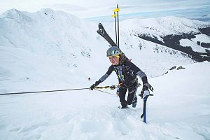 Přechod Tater - od Belianek po Roháče
(elevation gain 5700 m, 105 km)
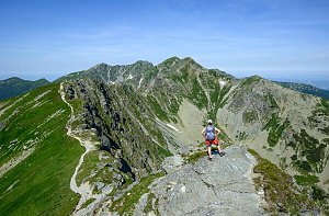 Výstup na Kežmarský štít
(elevation gain 500 m, )
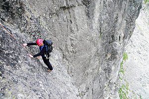
 Letní lezecké výstupy na Lomnický štít a Žlutou stěnu
 Výstup Martinkou na Gerlachovský štít
(elevation gain 1700 m, 20 km)
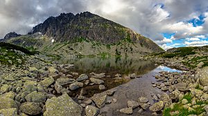 Jahňací štít – nejvýchodnější vrchol Vysokých Tater
(elevation gain 1300 m, 20 km)
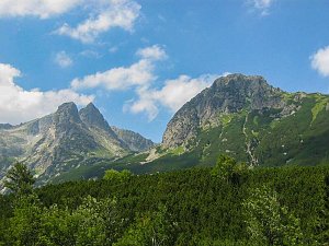 Výstup na Gerlachovský štít - normálkou
(4 km)
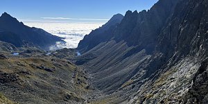
Tatranský expres - prodloužený víkend v Tatrách(elevation gain 5303 m, 82 km)
Webcams
( 3.3 km)
 District of Poprad: Zdiar: Ždiar - Skicentrum Strednica
( 3.6 km)
 District of Poprad: Ždiar
(979 m a.s.l., 4.1 km)
 District of Kežmarok › South-east
( 4.4 km)
 Chata pri Zelenom plese
(1545 m a.s.l., 4.6 km)
 Dolina Zeleného plesa
(1549 m a.s.l., 4.6 km)
 District of Poprad: Lomnický štít 2634 m
(2533 m a.s.l., 6 km)
 District of Poprad: Lomnický štít
(-32768 m a.s.l., 6 km)
 District of Poprad: Lomnické sedlo
( 6.8 km)

Sun
| today | tomorrow | day after tomorrow | |
|---|---|---|---|
| Dawn: | 6:40 | 6:41 | 5:43 |
| Sunrise: | 7:12 | 7:14 | 6:15 |
| Sunset: | 17:34 | 17:32 | 16:30 |
| Dusk: | 18:06 | 18:05 | 17:03 |