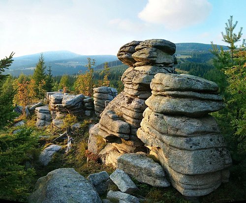

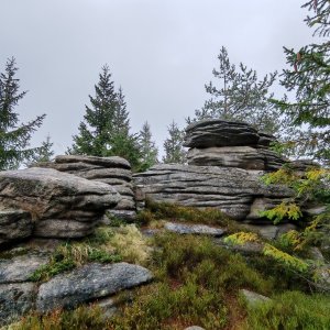

Hiking, 3 km
13.9.2026
 Česko
Trutnov (Královéhradecký kraj)
Logged on Vrcholovka 31x in total. Peak information here was completed by Petr, Mountainer a Martin Matějka.
Pevnost is part of challenges: Koruna Sudet, The Highest Mountains of Hradec Králové Region, Thousanders of the Czech Republic, Tisícovky Krkonoš
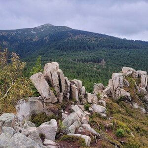
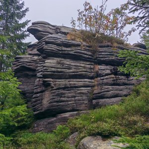
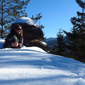
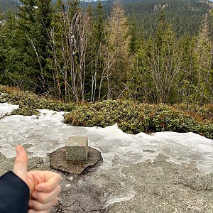
Granite outcrop (tor) on the southern slope of the Silesian Ridge, 3 km north of Špindlerův Mlýn. The highest point is on a rock about 7 m high. The geodetic point at 1011.8 m is on a nearby rock, 2 meters lower.
There is no chalet on the peak.
However, you can get within about 20 m of the summit rock with a stroller. From there, you must continue on foot.
There are views from the peak.
There is no cable car to this peak.
No special equipment is required for this summit.
Peak is freely accessible.
Nearest peaks: Ptačí kámen (1310 m, 1.9 km) Medvědín (1235 m, 2 km) Čihadlo (1214 m, 2.1 km) Železný vrch (1321 m, 2.3 km) Dívčí kameny (1413 m, 2.6 km) Mužské kameny V (1415 m, 2.7 km) Snail (1212 m, 2.7 km) Mužské kameny (1417 m, 2.8 km) Małe Śląskie Kamienie (1339 m, 2.9 km) Wysoczyniec (1206 m, 2.9 km) Lwy (1179 m, 3 km) Strzygi (1186 m, 3 km) Fałszywy Kamień (1356 m, 3.1 km) Pyszałek (1167 m, 3.1 km) Harrachova skála (1036 m, 3.5 km) Śmielec (1424 m, 3.5 km)
 Via Czechia: Severní stezka
 Přechod Krkonoš s dětmi
 Labská stezka
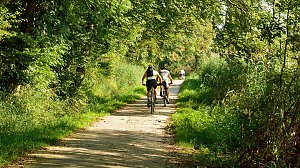

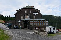
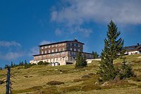
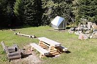
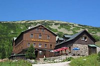
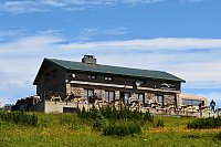
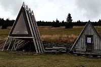
 Špindlerův Mlýn: Krkonoše, Špindlerův Mlýn, Medvědín (pohled na Kozí hřbety)
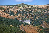
 Špindlerův Mlýn: Krkonoše, Špindlerův Mlýn, Medvědín (pohled na Labskou přehradu)
 Medvědín
 Špindlerův Mlýn: Erlebachova bouda I - Špindlerův Mlýn
 Svatý Petr: Erlebachova bouda
 Špindlerův Mlýn › South-West: Spindler's Mountain Hotel - Maiden Rocks - Mužské kameny - Medvědín - Wielki Szyszak
 Bedrichov: Špindlerův Mlýn: Hromovka
 Špindlerův Mlýn › South-East: Martinova bouda
 Vitkovice: Spindlermühle - Horní Mísečky
 Vitkovice: Spindlermühle - Horní Mísečky
 Spindleruv Mlyn › South-East
 Vitkovice: Vrbatova Bouda
 Spindleruv Mlyn: Svaty Petr II, Nástup Lanovky
 Spindleruv Mlyn: Svaty Petr II, Restaurace
 Spindleruv Mlyn: Penzion Alenka - Labská, Přehrada
 Špindlerův Mlýn › North-West: Pension Alenka Spindleruv Mlyn
 Špindlerův Mlýn: Krkonoše, Špindlerův Mlýn, Labská bouda (pohled na boudu nad Labským dolem)
 Špindlerův Mlýn › South-East: Zlaté návrší
 Spindleruv Mlyn: Hromovka
 Špindlerův Mlýn: STOH - Svatý Petr | Špindlerův Mlýn, Czech republic
 Bedrichov: Svatý Petr - Pláň - Špindlerův Mlýn
 Predni Labska: Město Špindlerův Mlýn - Svatý Petr, Pláně
 Strazne › North: Strážné - Czech Republic: Friesovy boudy

| today | tomorrow | day after tomorrow | |
|---|---|---|---|
| Dawn: | 7:00 | 7:01 | 6:03 |
| Sunrise: | 7:33 | 7:35 | 6:37 |
| Sunset: | 17:49 | 17:47 | 16:46 |
| Dusk: | 18:23 | 18:21 | 17:19 |