


Hiking, 1 km
24.5.2026
Česko
Prostějov (Olomoucký kraj)
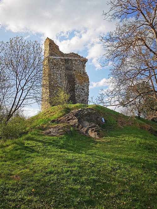
Logged on Vrcholovka 4x in total. Vrchol Ruins of Otaslavice was added here by Jiří Králík.
Help others and .
There is no chalet on the peak.
Peak is not stroller accessible.
There are views from the peak.
There is no cable car to this peak.
No special equipment is required for this summit.
Peak is freely accessible.
Nearest peaks: Homola (295 m, 0.3 km) Záhorčí (314 m, 0.8 km) Obrova noha (381 m, 1.5 km) Kamenice (385 m, 2.2 km) U Chaloupky (414 m, 2.4 km) Strážná (409 m, 2.6 km) Končiny (389 m, 2.7 km) Plániva (347 m, 2.7 km) Markovec (398 m, 3.7 km)
| today | tomorrow | day after tomorrow | |
|---|---|---|---|
| Dawn: | 6:18 | 6:20 | 6:21 |
| Sunrise: | 6:52 | 6:54 | 6:56 |
| Sunset: | 16:18 | 16:16 | 16:15 |
| Dusk: | 16:52 | 16:51 | 16:49 |