



Hiking, 5 km
18.7.2026
 Slovensko
Trnavský kraj
Logged on Vrcholovka 8x in total. Vrchol Kalvária was added here by Jozef Farkaš and info was completed by Martin Matějka a Jiřina.
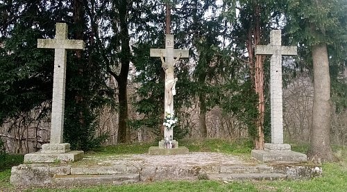
At the summit stands the Chapel of the Ascension of the Lord. The peak is not marked by anything.
There is no chalet on the peak.
A cross path leads to the summit along a grassy but not particularly well-maintained trail. Better to carry the stroller on your back than to push it.
There are views from the peak.
There is no cable car to this peak.
No special equipment is required for this summit.
Peak is freely accessible.
Nearest peaks: Smolenický zámok (304 m, 0.3 km) Molpír (363 m, 0.5 km) Havrania skala (602 m, 1.9 km) Cerník (430 m, 2 km) Driny (483 m, 2 km) Havranica (717 m, 2.3 km) Biela hora (378 m, 2.8 km) Biela hora (374 m, 3 km) Medzipanské (464 m, 3 km)
| today | tomorrow | day after tomorrow | |
|---|---|---|---|
| Dawn: | 5:56 | 5:57 | 5:59 |
| Sunrise: | 6:28 | 6:30 | 6:31 |
| Sunset: | 16:39 | 16:38 | 16:36 |
| Dusk: | 17:12 | 17:10 | 17:08 |







