
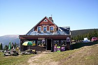
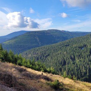

Hiking, 20 km
24.9.2023
 Česko
Trutnov (Královéhradecký kraj)
Logged on Vrcholovka 13x in total. Vrchol Haida was added here by Petr and info was completed by Martin Matějka a Bouřka.
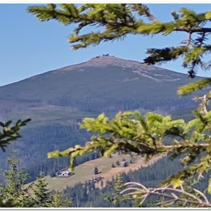
Partially forested peak near the village of Malá Úpa. At the summit, there is a marker for the Maloúpské Thousanders, although the peak's height according to ČÚZK is only 998.0 m above sea level.
Older paper maps also mention the name Vřesový vrch. There is some confusion regarding the heights - this is evidently caused by two geodetic points near the summit. One, at a height of 992.8, is often found on those mentioned tourist maps, while mapy.cz seems to take the height from the other point, which is 994.4, and rounds it up to 995. The cherry on top is the aforementioned post, which claims a height of 1002m. However, I would consider the information from ČÚZK to be the most reliable. /Bouřka/
Photo by Samor Jacek, Mapy.cz
There is no chalet on the peak.
Unpaved forest path, often muddy.
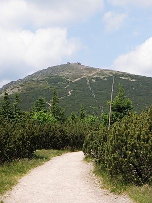
Partial. From the path from the summit towards the northwest, Sněžka can be seen.
There is no cable car to this peak.
No special equipment is required for this summit.
Peak is freely accessible.
Nearest peaks: Kraví hora (1072 m, 1.5 km) Jelení hora (1171 m, 1.8 km) Lysečina (1190 m, 2.2 km) Tabule (1284 m, 2.4 km) Čelo (1270 m, 2.8 km) Dlouhý hřeben S (1031 m, 3.1 km)
 Mala Upa: POI 1
 Horni Mala Upa: Malá úpa, Pomezky
 Mala Upa: Przełęcz Okraj - Województwo dolnośląskie, Rzeczpospolita Polska
 Mala Upa › South-East: Horní Malá Úpa, Pomezní Boudy
 Pec pod Snezkou: Velká Úpa - Velká Úpa, POI 1
 Pec pod Snezkou: Krkonoše, Sněžka, nová lanovka (pohled na jih)
 Karpacz
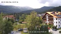 Karpacz: Sněžka
 Karpacz
 Karpacz
 Karpacz
 Karpacz: Kopa
 Ploczki: złota jesień - NOWOŚĆ
 Karpacz › South-west

| today | tomorrow | day after tomorrow | |
|---|---|---|---|
| Dawn: | 7:01 | 6:02 | 6:04 |
| Sunrise: | 7:34 | 6:36 | 6:38 |
| Sunset: | 17:47 | 16:45 | 16:43 |
| Dusk: | 18:20 | 17:19 | 17:17 |