

Hiking, 65 km
25.7.2026
 Česko
 Polsko
Trutnov (Královéhradecký kraj)
Logged on Vrcholovka 77x in total. Peak information here was completed by Zdeněk "DrakMrak", Martin Matějka, Krtek a Vojta.
Lysečina is part of challenges: Koruna Sudet, The Highest Mountains of Hradec Králové Region, Thousanders of the Czech Republic, Tisícovky Krkonoš, Ultrapeaks, Via Czechia Severní stezka
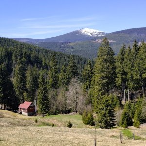
Polish Łysocina, also known in Czech as Lysečinská hora. The highest peak of the Maloúpská ridge, a subrange in the eastern part of the Krkonoš. The Czech-Polish border runs along the flat summit area. The highest point is 1189.7 m according to the ČÚZK map and is located about 60 meters north of the geodetic point (1188 m). Partial views from the deforested parts of the ridge.
There is no chalet on the peak.
Peak is not stroller accessible.
Towards Sněžka, beautiful
There is no cable car to this peak.
No special equipment is required for this summit.
Peak is freely accessible.
Nearest peaks: Borowa Góra (1056 m, 1.1 km) Kraví hora (1072 m, 2 km) Dlouhý hřeben S (1031 m, 2.2 km) Haida (998 m, 2.2 km) Lysečinská hora S (1099 m, 2.2 km) Dlouhý hřeben (1085 m, 3.1 km) Albeřický vrch JV (912 m, 3.2 km) Sulica (946 m, 3.3 km) Čelo (1270 m, 3.5 km)
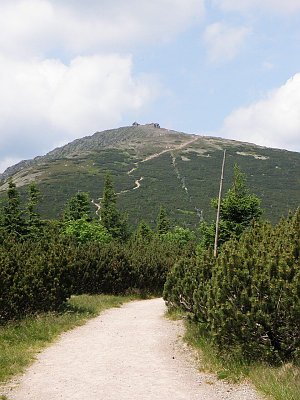 Přechod přes Adršpach a Broumovsko
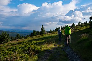 Česko-polská hřebenovka: z Ještědu až na Praděd
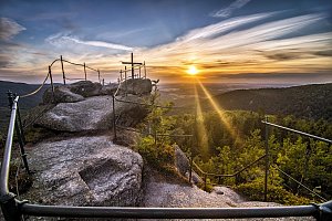
 Mala Upa: U kostela, Česká republika
 Mala Upa: Przełęcz Okraj - Województwo dolnośląskie, Rzeczpospolita Polska
 Horni Mala Upa: Malá úpa, Pomezky
 Mala Upa › South-East: Horní Malá Úpa, Pomezní Boudy

| today | tomorrow | day after tomorrow | |
|---|---|---|---|
| Dawn: | 7:00 | 6:02 | 6:04 |
| Sunrise: | 7:34 | 6:36 | 6:37 |
| Sunset: | 17:47 | 16:45 | 16:43 |
| Dusk: | 18:20 | 17:18 | 17:17 |