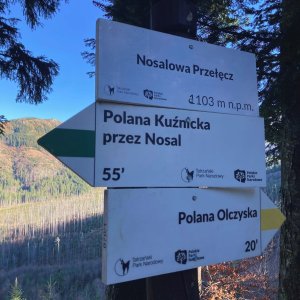

Hiking, 20 km
27.9.2026
Polsko
Logged on Vrcholovka 18x in total. Vrchol High was added here by Li Be and info was completed by Martin Matějka a Jiří Králík.
A forested peak with no views. 60m off the blue trail.
There is no chalet on the peak.
Peak is not stroller accessible.
There are no views from the peak.
There is no cable car to this peak.
No special equipment is required for this summit.
Peak is freely accessible.
Nearest peaks: Boczan (1224 m, 0.5 km) The Great Queen's Cup (1531 m, 1.2 km) Wore (1206 m, 1.4 km) Kopieniec Wielki (1328 m, 1.8 km) Kasprowe Mountains (1852 m, 2.8 km) Koziniec (936 m, 2.9 km) Antalówka (937 m, 3.5 km)
 Trek Dolinou Suchej Wody Gasienicowej v polské části Vysokých Tater
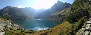 Výstup na Giewont v zimě aneb klid v srdci polských Tater
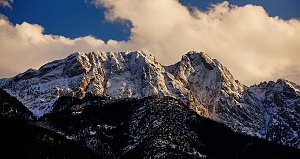 Trek v polských Tatrách - po Červených vrších s výstupem na Svinici
 Orla Perc (Orlí stezka) v polských Vysokých Tatrách
 Orla Perc neboli Orlí stezka v Tatrách (z chaty Murowaniec)
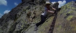 Trek Dolinou Roztoki v polské části Vysokých Tater
 Túra dolinou Pieciu Stawow Polskich ve Vysokých Tatrách
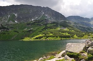 Výstup k chatě Hala Kondratowa a dále na Wielki Giewont ve Vysokých Tatrách
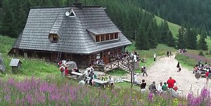 Trek v polských Tatrách - k jezerům Mořské oko a Czarny Stav pod Rysami
 Okruh kolem jezer v polských Vysokých Tatrách
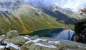 Stanisławského cestou v severní stěně na Vysokou

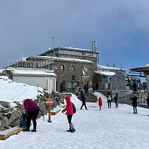
 Kasprowy Wierch
 Zakopane › South-east
 Zakopane: Kasprowy - Hala Gąsienicowa
 Kuźnice: Kasprowy Wierch Dolina Gąsienicowa. System monitoringu pogody TOPR
 Zakopane: PKL Kasprowy Wierch panorama
 Zakopane: Kasprowy - Panorama
 Zakopane › South-East
 Zakopane: Gubalowki
 Zakopane: Giewont − Widok na Tatry
 Zakopane: Rzeczpospolita
 Murzasichle: Ski
 Harenda: widok z dolnej stacji
 Zab: Widok na Tatry z Willi
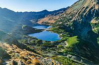
 Dolina Pięciu Stawów Polskich
 Dolina Pięciu Stawów Polskich
 Suche
 Zab: Gubałówka - Zakopane
 Murzasichle: widok na Tatry

| today | tomorrow | day after tomorrow | |
|---|---|---|---|
| Dawn: | 6:11 | 6:12 | 6:14 |
| Sunrise: | 6:45 | 6:47 | 6:48 |
| Sunset: | 16:02 | 16:01 | 16:00 |
| Dusk: | 16:37 | 16:35 | 16:34 |